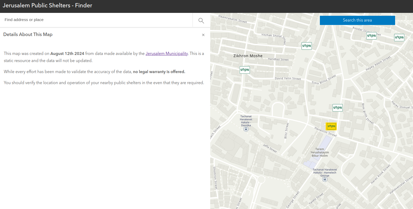
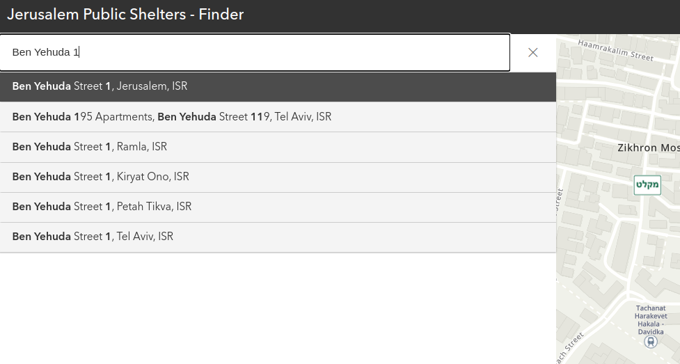
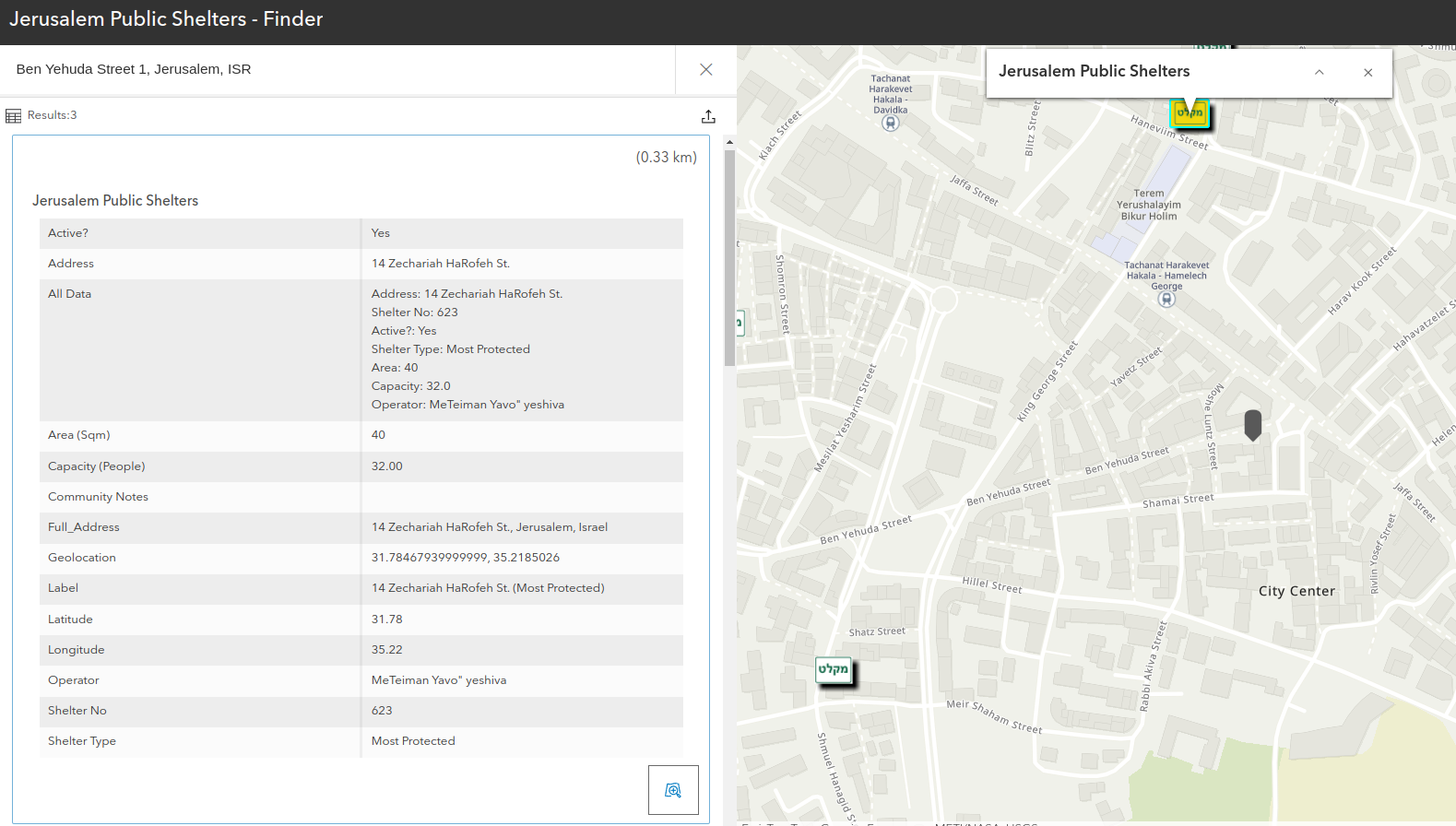
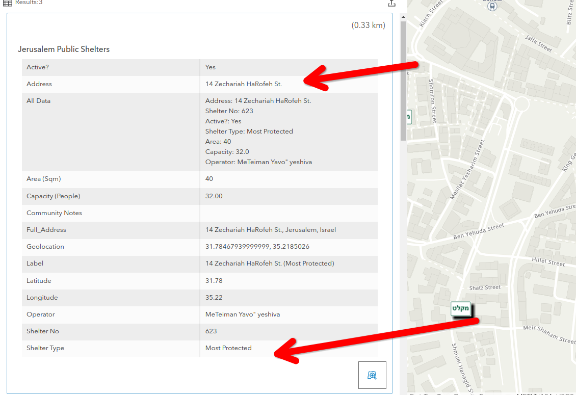
Jerusalem Public Shelter Finder - ArcGIS App
Preparedness
⚠️ Last Update: 12-08-24 (Aug 12, 2024) ⚠️
The update dates for the data is displayed through the folder structure in the format dd-mm-yyyy (day, month, year).
⚠️ Disclaimer: Non-Governmental Source! ⚠️
The data provided in this repository is reproduced in accordance with the licensing terms of the original data providers.
However, users are advised that this data should not be relied upon for personal preparedness efforts or decision-making.
The repository author offers no warranty as to the accuracy, completeness, or reliability of the data. Use of the data is at your own risk, and the repository author assumes no responsibility for any consequences arising from its use.
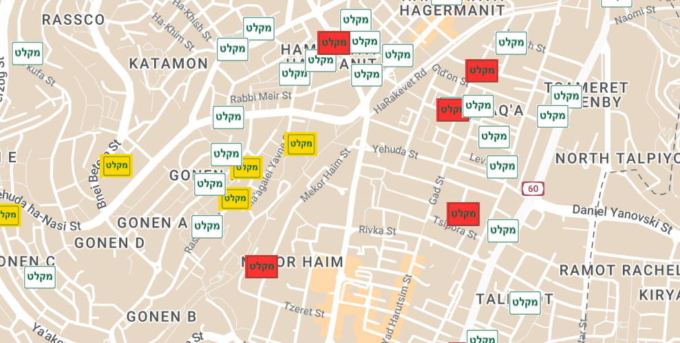
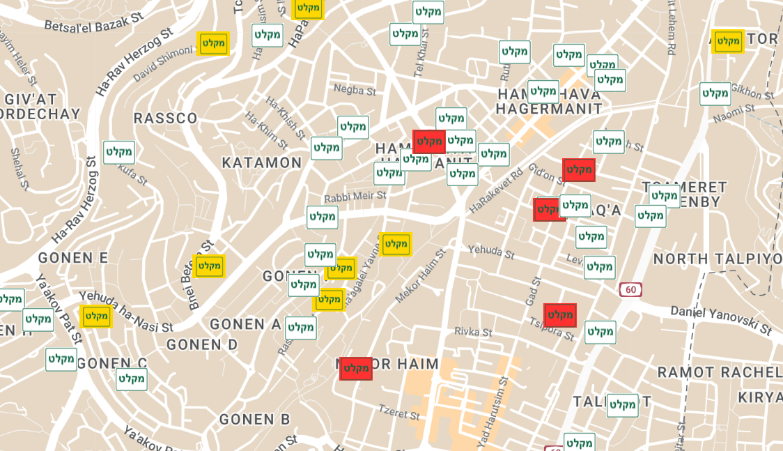
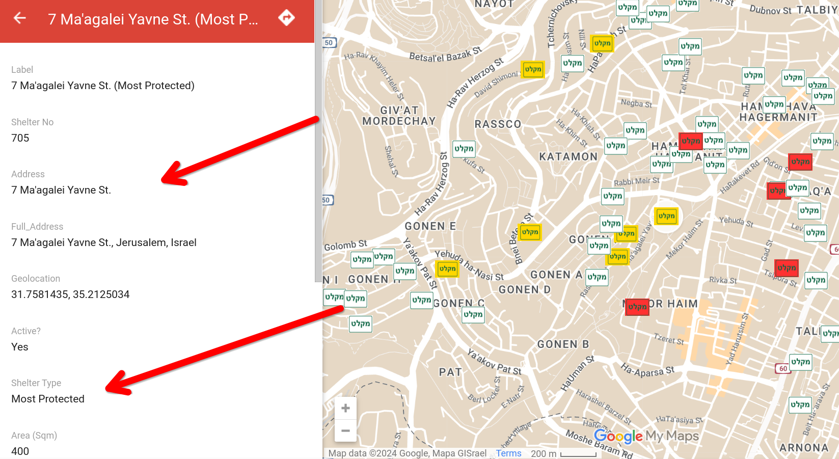
Map
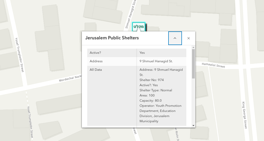
Screenshots
Online Links
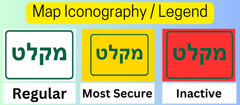
Legend / Iconography
ArcGIS App
Screenshots & Legend (ArcGIS)
Sources
Geocoding
Google Maps API + manual fixes
Last Update
Prior Version(s)
By: Daniel Rosehill

Creative Commons Attribution 4.0 International License